Cycling from Aprica to Val Belviso
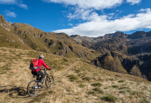
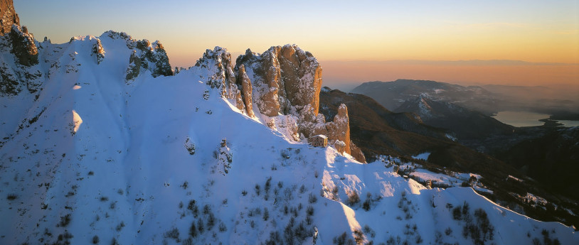
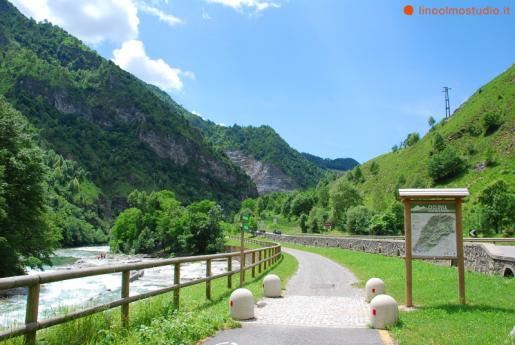
Highest point 2320 mTotal elevation gain 1550 mTotal elevation loss 1550 mTotal climb 18 kmTotal descent 16,5 kmTotal distance 25,4 kmDuration 6-8 hCycling rate (%) 80% This route extends wholly through a valley belonging to the Orobic Alps. Val belviso is the last eastern valley, it is long, deep and nar-row, but along the path going south from Alpe Magnolta to Passo di Venerocolo it seems bright and wide. The outline of Monte Torena – the last high peak of Orobic Alps – dominates the other side westwards reflecting its shape into the waters of the huge artificial lake on the valley bottom. Once you get to the pass dividing us from the Province of bergamo, you will find some alpine lakes wedged among the rocks and the grassy small hills. The descent runs on a trail at first and then turns into a dirt road through the whole valley, both alongside the lake and under the dam. In San Paolo the Rifugio Cristina is a nice place to grab calories and shelter. You can start from the car park nearby Magnolta ski runs and take the dirt road climbing up to the left of the cableway. The sign indicates Malga Magnolta and Passo Venerocolo. You can easily cycle on the first half of the uphill dirt road, which then gets much steeper from the mountain huts in Corna Alta (1457 m) to the finish of the cableway (1870 m), so that you may need to carry your MTb. This is a challenging ascent but in summertime you can use the lift up to Magnolta. Halfway up the second ski lift, at 1940 meters, the track becomes a flat trail, which goes into the wood, turns south and enters Val belviso. you have to ride for about 13 km on a flat path going sometimes gently uphill, going past Malga Magnola (1997 m) and crossing the Valle del latte and the Valle di Pisa. You have to pay attention to some exposed stretches. The first part of the descent from Passo di Venerocolo (2314 m) to the dirt road at 2000 meters above Malga di Campo (1816 m) is steep and not very flowing. The downhill ride alongside the artificial lake and through the remaining part of Val belviso does not hinder your fun. The route ends with the ascent on a paved road from Ponte Ganda (906 m) to the resort town of Aprica.
