- Itinerari
- Active & Green
Alta via della Valmalenco
Valmalenco
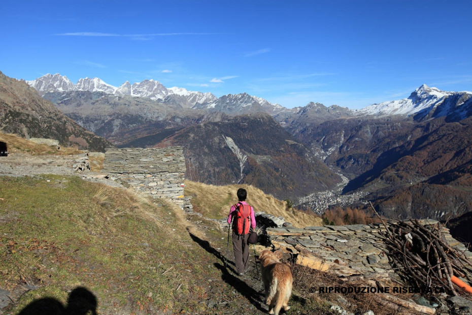
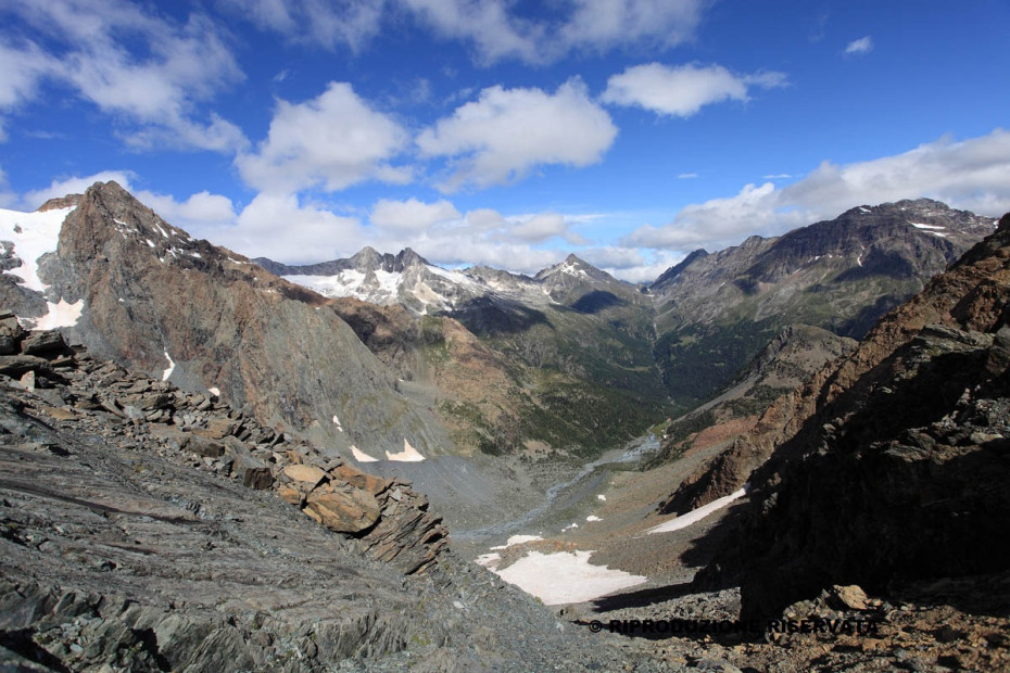
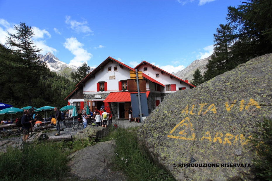
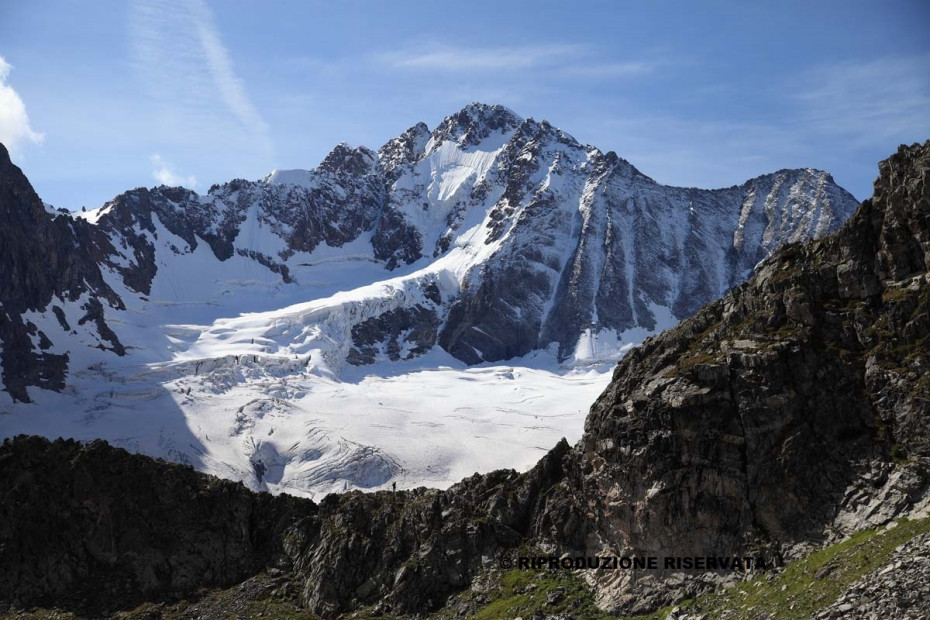
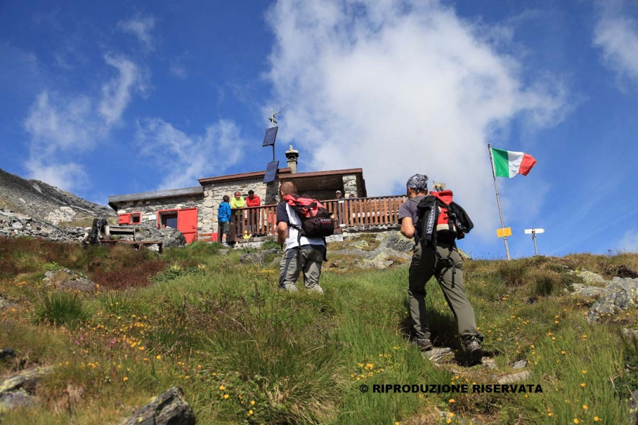
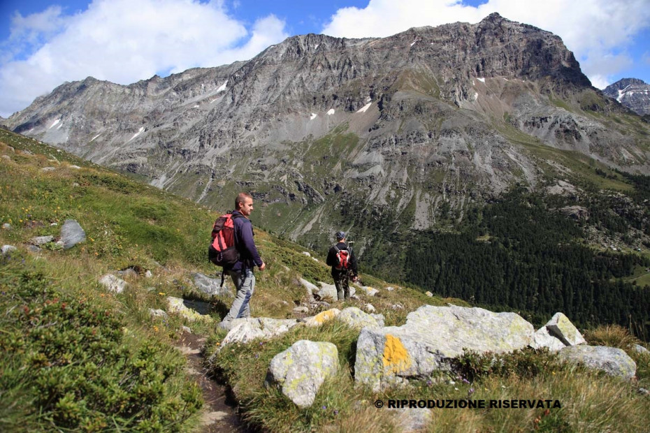
Thanks to its variety of sceneries, the High Route of Valmalenco is one of the most beautiful high altitude excursion routes in the Alps: the richness of natural flora, the presence of soapstone old quarries, mountain huts, shepherds’ buildings and panoramic views make it unique of its kind. The High Route extends for over 110 Km, at quotas ranging from 800 m to 3000 m a.s.l., through woods and pastures, lateral valleys, climbing over arduous passes and winding before glaciers flows of Monte Disgrazia, of Pizzo Bernina and of Pizzo Scalino. Articulated into eight daily stages, it connects some fifteen refuges. The whole route develops along three well indicated pathways.
Before undertaking this route, it is important to gather information concerning the trails and their accessibility by getting in touch with local experts or shelter managers.
Information regarding weather forecasts are available on the following websites: www.arpalombardia.it or www.meeosuisse.ch.
All the shelters have a phone and mobiles get a good reception on many parts of the route. Only in case of emergency, call 112 - alpine rescue team.
Maps:
- Carta Bernina - Sondrio 1:50.000 Kompass
- Carta nazionale Svizzera 1:50.000 n.268 Julierpass, n. 278 Monte Disgrazia, n.279 Brusio
- Cartina escursionistica comunità montana valtellina di Sondrio 1:30.000
- Valmalenco, Sondrio e dintorni. SETEmap 1:30.000
Mostra cosa c'è nelle vicinanze:
Torre di Santa Maria - Rifugio Bosio
3D map of the first stage
Interactive map
- Place of departure: Torre Santa Maria
- Maximum altitude: 2490 m
- Difference in altitude: + 1700 m / -400 m
- Route time: 7 h
- Distance: 14 km
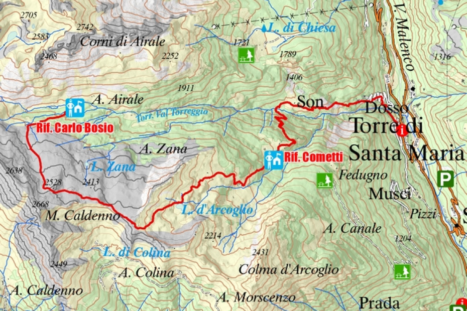
The first stage takes to the foot of the Disgrazia group. The route goes up the Val Torreggio to the Cometti shelter. The highest point culminates with the summit of Sasso Bianco (2490 m), a place that allows a wide 360-degree panoramic view from the Adamello Group to Monte Rosa, from the Orobie Valtellinesi to the Disgrazia, up to the Bernina. It is possible to reduce the length and fatigue by choosing the climb to Piasci with private services or along the variant that leads directly from Piasci to Bosio-Galli shelter. Another variant is indicated by the Arcoglio upper pasture above the church that faces Valmalenco.
NOTE: The road from Torre Santa Maria to Alpe Piasci is subject to the purchase of a permit that can be bought in the centre of the municipality of Torre di Santa Maria (€ 5 per day).
Overnight stay:
Bosio-Galli shelter: +39 0342 451655
Rifugio Bosio - Alpe Ventina
3D map of the second stage
Interactive map
- Place of departure: Rifugio Bosio-Galli
- Maximum altitude: 2675 m
- Difference in altitude: + 1200 m / -1300 m
- Route time: 7 h
- Distance: 13.5 km
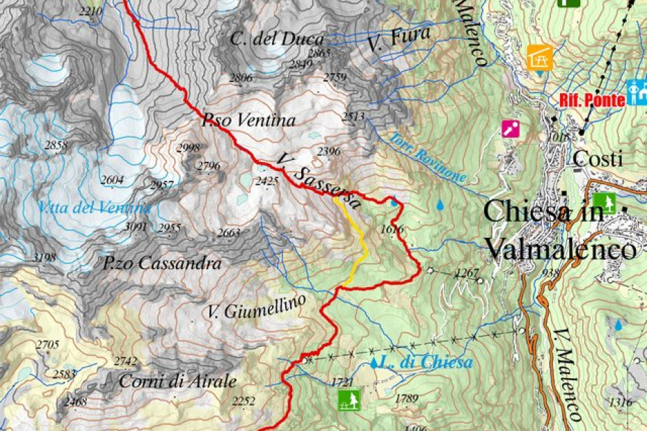
Stage of considerable development, with the arduous ascent of Val Sassersa, interrupted by the pleasant meeting of the 3 lakes di Sassersa, up to Passo Ventina. Extraordinarily varied, through very different environments, from Alpe Mastabbia offers a beautiful view of Bernina group. Free of dangers, it is extraordinarily varied and suggestive, as well as rich in ethnographic and naturalistic interest (talc quarries, soapstone quarries, mountain pastures). With this stage one enters the heart of the Disgrazia group.
NOTE:
It is possible from Alpe Giumellino to continue to Alpe Pirlo and then to go up. In this case the stage is extended by about an hour of walking. At the Pirlo Alp you can see ancient lathes used for the processing of soapstone.
Overnight stay:
Gerli-Porro shelter: +39 0342/451404
Ventina shelter: +39 0342/451458
Alpe Ventina - Chiareggio
Mappa 3D della terza tappa
Interactive map
- Place of departure: Alpe Ventina
- Maximum altitude: 2600 m
- Difference in altitude: + 900 m -1260 m
- Route time: 6.30 h
- Distance: 13.5 km
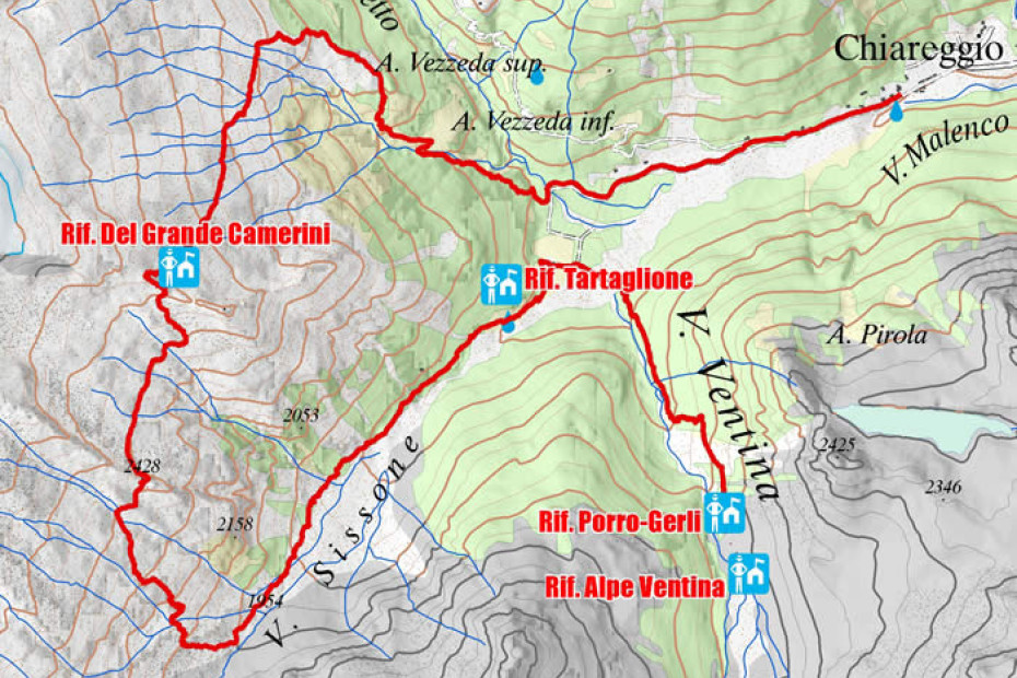
Extraordinary stage for the environment and for the geomineralogical interest of the environments crossed. Wild path, partly on uneven ground, along the Sissone valley, is to be undertaken with conditions of good visibility: from Del Grande Camerini shelter, reached after a short stretch of rocks (equipped) you can enjoy the spectacular scenery offered by the north wall of Monte Disgrazia.
Overnight stay:
Tartaglione-Crispo shelter: 347/8508896
Hotels in Chiareggio: Gembro, Pian del Lupo, Tana del Grillo, Chiareggio, Genziana
Chiareggio - Alpe Lago Palù
3D map of the fourth stage
Interactive map
- Place of departure: Chiareggio
- Maximum altitude: 2450 m
- Difference in altitude: +1000 m / -400 m
- Route time: 6.30 h
- Distance: 13 km
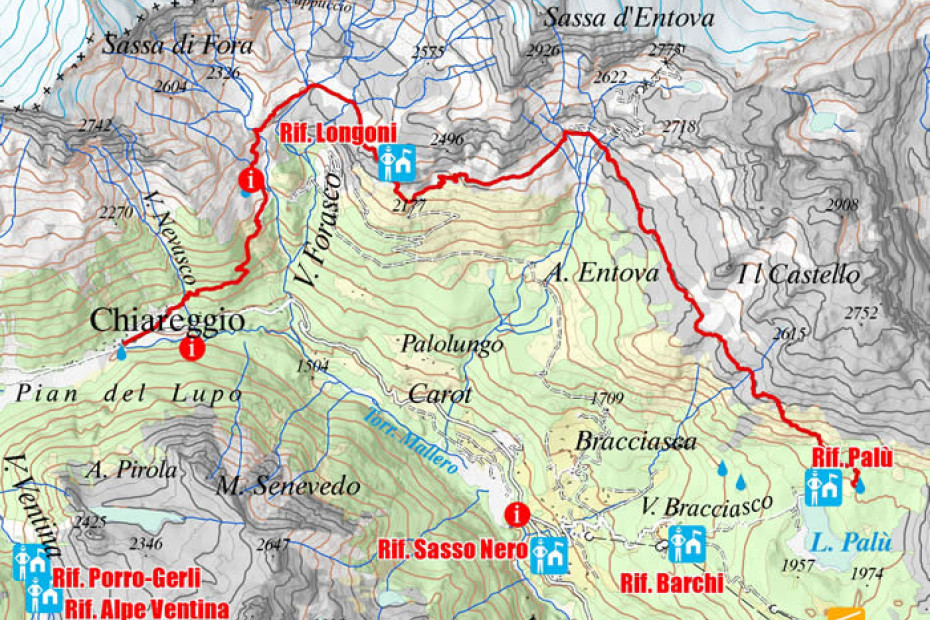
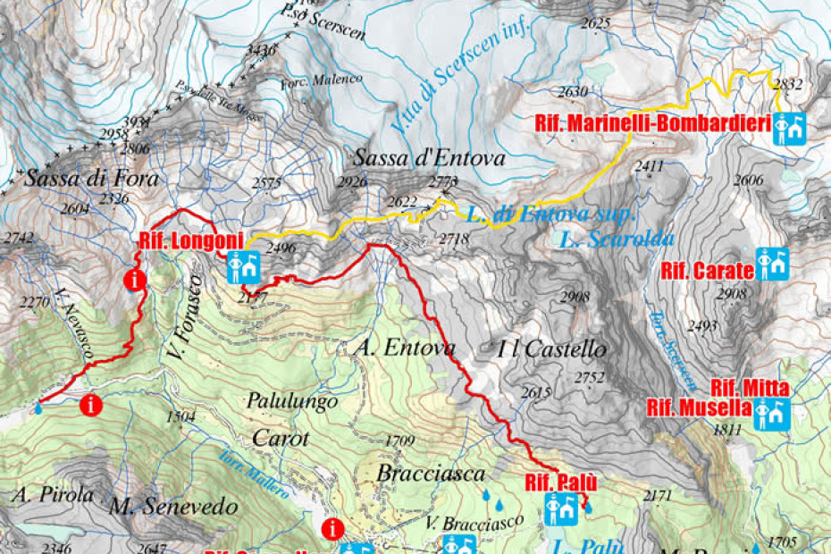
The stage allows the transfer from Chiareggio to the pleasant valley of Palù lake, through the pastures of Alpe Fora, the panoramic balcony of Longoni shelter and the disused Alpe Sasso Nero stony ground, from which through a mountain pine wide view you can enjoy a beautiful view from the top of Palù lake. Different itineraries are foreseen depending on the hikers’ level of training, their environmental preferences and meteorological conditions. For those who have a good workout and prefer a "higher" variant, it is possible to reduce the High Route one day and join stages 4 and 5, skipping the overnight at Palù shelter and going directly to Capanna Marinelli-Bombardieri through the former Entova-Scerscen shelter near the lower Scerscen glacier. This itinerary allows you to get from the heart of Disgrazia group to the slopes of Bernina one. In case of bad weather it is possible to reach San Giuseppe from Chiareggio with the bus line, then go up to “Barchi” and continue on a comfortable carareccia to Palù lake and Palù shelter.
It is also possible to break the route, staying overnight at Longoni shelter, and then continue on the basic route of the High Route.
Overnight stay:
Lago Palù shelter: +39 0342/452201
Motta shelter: (limited places available): +39 0342/451406
Longoni shelter: +39 0342 451120
Marinelli Bombardieri shelter: +39 0342 511577
Alpe Lago Palù - Rifugio Marinelli
3D map of the fifth stage
Interactive map
- Place of departure: Alpe Lago Palù
- Maximum altitude: 2813 m
- Difference in altitude: + 1400 m / -600 m
- Route time: 6 h
- Distance: 12 km
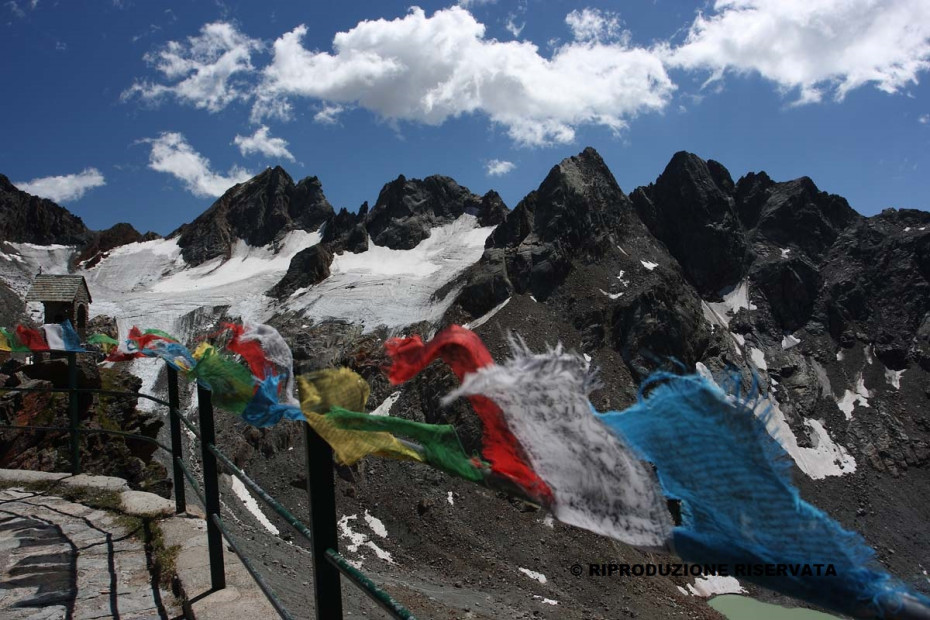
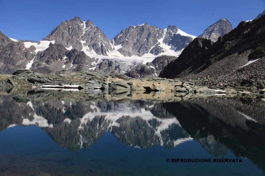
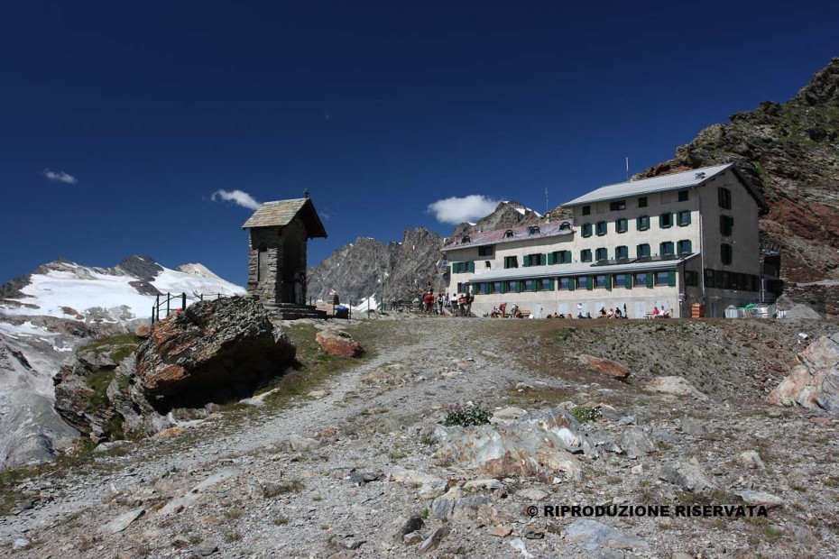
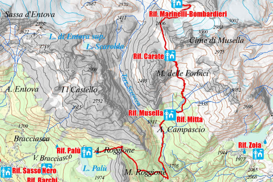
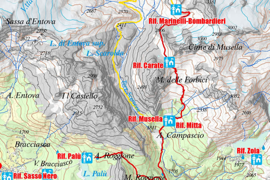
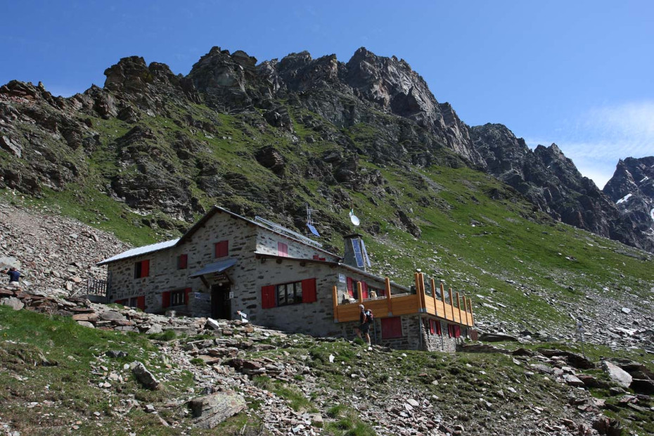
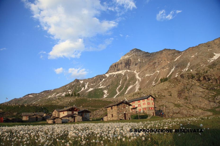
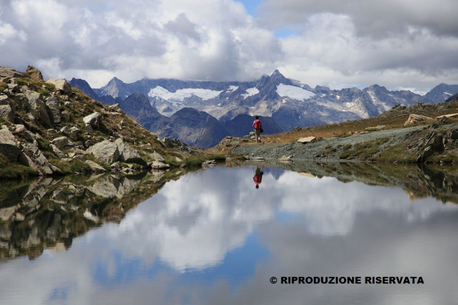
This is the classic stage, that allows you to enter the heart of the Bernina group, in an area still characterized by the presence of large glaciers, among the largest in the Italian Alps. Marinelli shelter is one of the most important and well-known alpine refuges. It was also the first, together with the Corna Rossa hut (later Rif. Desio, temporarily unusable) to be built in Valmalenco in the distant 1880. After Bocchel del Torno, in a context characterized by a strong naturalness, it spreads along the ski slopes, in part recently built, to reach and follow the ancient mule track that led from Lanzada to Marinelli shelter, through extensive woods, the pastures of Alpe Campascio and those higher of Alpe Musella. Upstream from Alpe Musella, at about 2240 m, you meet the path from Campo Moro and it continues alternating morainic uplands and steep slopes up to Carate shelter, a few meters from Bocchetta delle Forbici, where the most spectacular and well-known opens view of the Bernina group reflects in the waters of the lake with the same name.
Overnight stay:
Carate shelter: +39 0342 452560
Marinelli-Bombardieri shelter: +39 0342 511577
Rifugio Marinelli Bombardieri - Rifugio Bignami
3D map of the sixth stage
Interactive map
- Place of departure: Marinelli Bombardieri shelter
- Maximum altitude: 2983 m
- Difference in altitude: + 250 m / -500 m
- Route time: 3 h
- Distance: 5 km / 8 km (variant through Forcella di Fellaria)
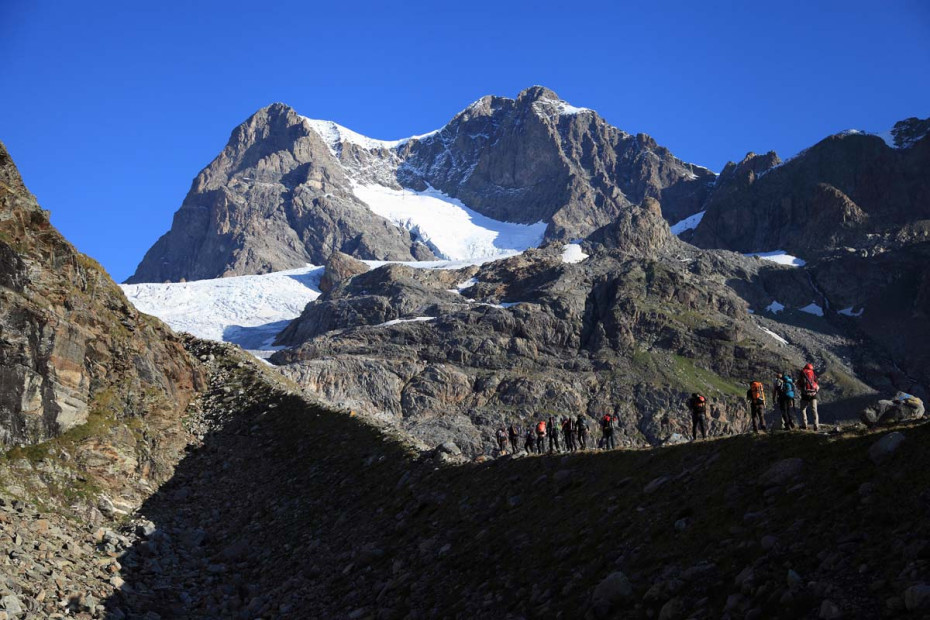
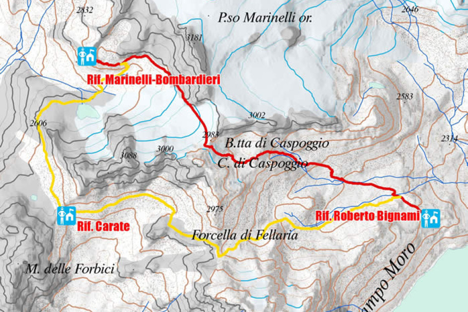
This is the shortest stage, which crosses the highest pass of the entire High Route, Bocchetta di Caspoggio at almost 3000 m. Here you can breathe the air of the highest peaks of the group, perfectly visible from the pass. Due to the withdrawal of Caspoggio glacier, the transitability along the same can be difficult. The use of ice axes and crampons is highly recommended especially when you intend to travel this stretch during the advanced season when the glaciers are abundantly crevassed. Another possibility which consists in covering the "high" variant, largely on the glacier, through the Eastern Marinelli Pass (3090 m), requires mountaineering materials and experience; once past the glacial stretch, descend to Laghetto di Fellaria and from here to the pastures of the homonymous mountain pasture.
If you do not have experience in crossing glacial terrain, it is strongly recommended that you are accompanied by a guide or that you should take the simplest variant which includes the passage from Forcella di Fellaria (2819 m - variant). It avoids stretches of glacier but involves the descent to Carate shelter where the deviation is encountered.
Bignami shelter is located on Alpe Fellaria, one of the highest mountain pastures in the valley still in use.
Overnight stay:
Bignami shelter: +39 0342 451178
Rifugio Bignami - Rifugio Cristina
3D map of the seventh stage
Interactive map
- Place of departure: Bignami shelter
- Maximum altitude: 2601 m
- Difference in altitude: + 700 m / -800 m
- Route time: 6.30 h
- Distance: 14 km
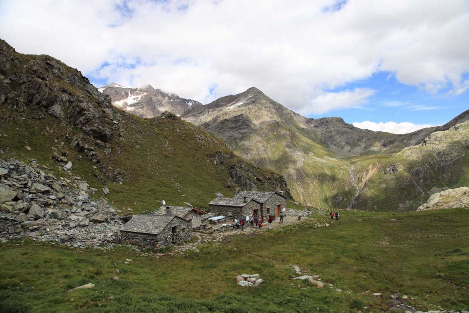
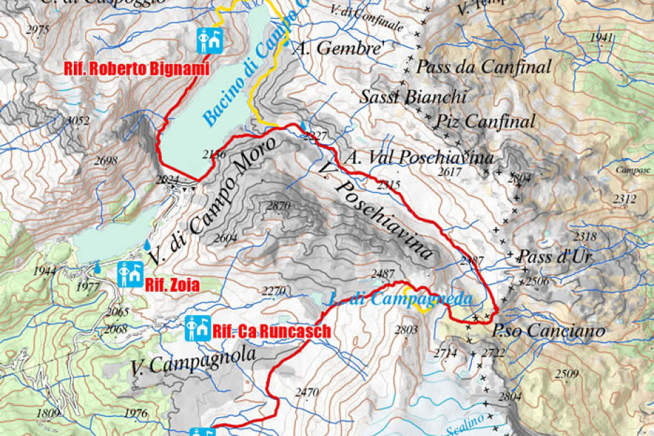
Stage of naturalistic interest and of notable development, but without big difficulties; from Bignami shelter you cross the circus with the glacial streams (bridges) up to Alpe Gembrè and from here on a wide mule track you reach the chalets of the Alpe Val Poschiavina. When you go up the entire evocative and relaxing valley, you meet the most challenging stretches in the ascent to the passes where you can enjoy a beautiful view of Val Poschiavo and the peaks of the Ortles-Cevedale and Adamello groups. From Passo Campagneda descend towards the pastures of the homonymous mountain pasture meeting a series of pleasant lakes and then turning south-west towards Alpe Prabello and Cristina shelter; the basic route, of similar length and duration, includes the descent to Gera dam (2100 m).
Overnight stay:
Cà Runcasch shelter: +39 347 9804889
Cristina shelter: +39 0342 452398
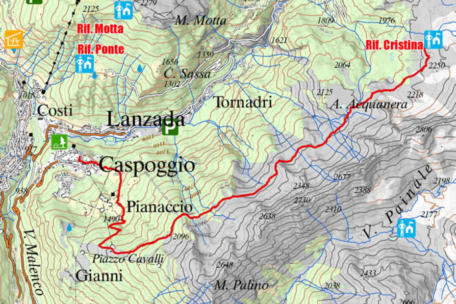
Rifugio Cristina - Caspoggio
3D map of the eigth stage
Interactive map
- Place of departure: Cristina shelter
- Maximum altitude: 2300 mt
- Difference in altitude: +100 m / -500 m
- Route time: 5 h
- Distance: 12 km
This is the final stage of the High Route, that allows you to return to the main villages of the valley with a highly rewarding itinerary, for the magnificent panorama that gradually embraces most of the tour. From the pleasant valley of Alpe Prabello, take the beautiful mule track that leads to Alpe Acquanera, characterized by the presence of large peat bogs. The route now develops at an altitude at the base of the coastal Monte Acquanera-Monte Cavaglia-Monte Palino, with ups and downs that lead first to Alpe Cavaglia and finally descend to the former ski area of Piazzo Cavalli. Reached Piazzo Cavalli it is possible to descend quickly to Caspoggio by ski slopes and then by public transport again the Torre Santa Maria. As an alternative, from Piazzo Cavalli you can go directly to Torre Santa Maria passing through the residential areas of Prà Mosin and Dagua.
